Klaprozenbuurt
Once a peripheral industrial area in the North of Amsterdam, the Klaprozenbuurt has been driven into redevelopment by a rapidly advancing and densifying city. In a complex of private and public interests, BETA helped shape the urban plan in a collaborative and participatory effort.
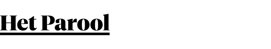
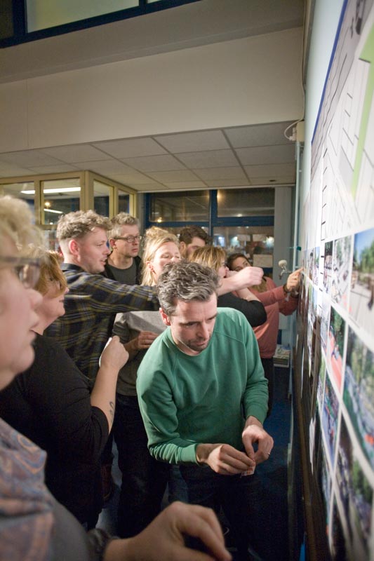
Changing times in brownfield developmentFrom Plan Zuid (H.P. Berlage) to the Eastern Docklands (Jo Coenen and West8), Amsterdam has a rich tradition in formal urban planning. Most of these schemes were the result of the city taking control: consolidating, restructuring and re-issuing land for development. In 2018 this form of top-down planning is becoming too risky for a city faced with dozens of costly brownfield redevelopment projects within its municipal boundaries. As a result, the Klaprozenbuurt will be redeveloped through ‘self-realization’, placing responsibility for the redevelopment with the sitting landowners. In this model, the municipality does little more than create a new zoning plan economically attractive enough to entice every plot into redevelopment. Meanwhile the Klaprozenbuurt is surrounded by four residential neighborhoods; their residents articulate and highly organized. Eventually aware that the traditional top-down masterplanning process was disregarding local interests and leading to resistance, the municipality chose to embark on a unique participatory planning process. |
 |
 |
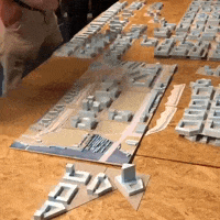 |
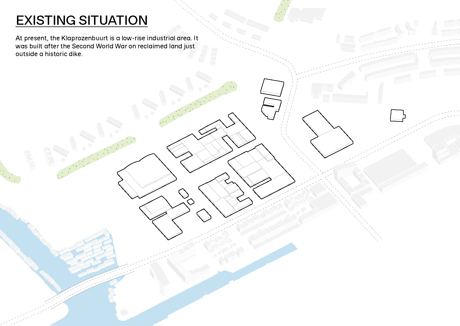
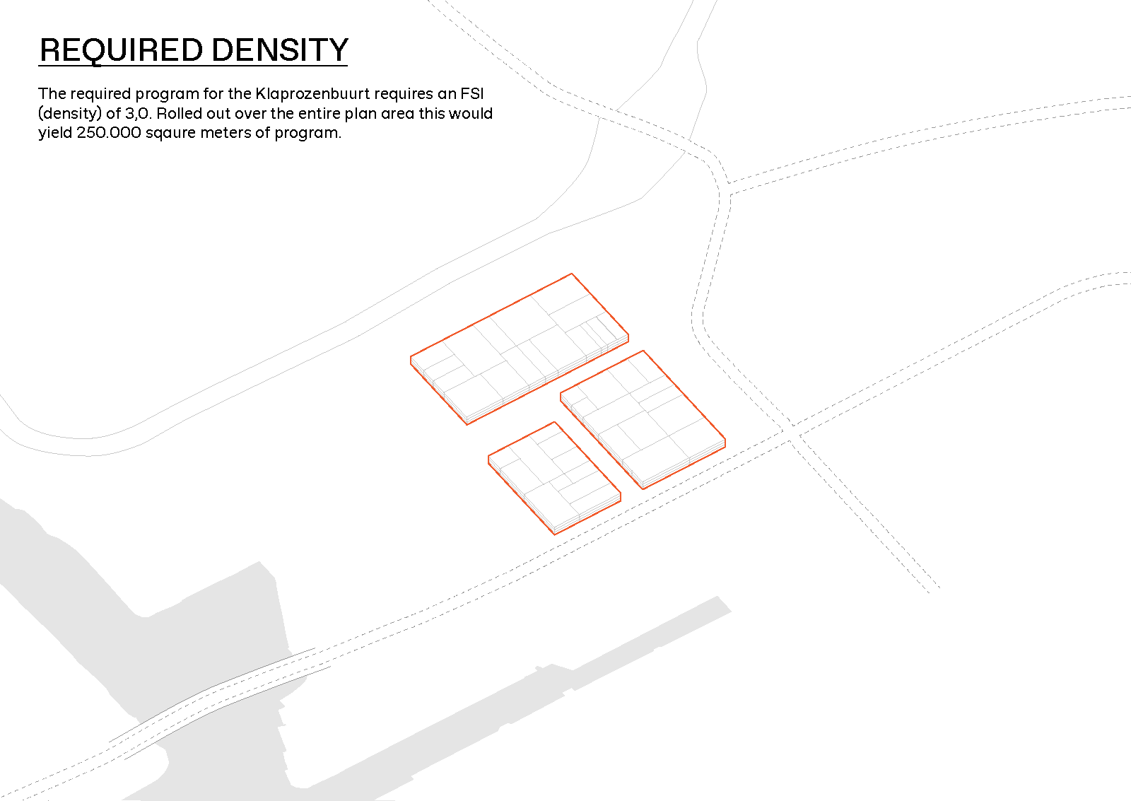
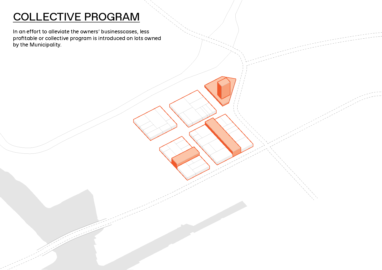
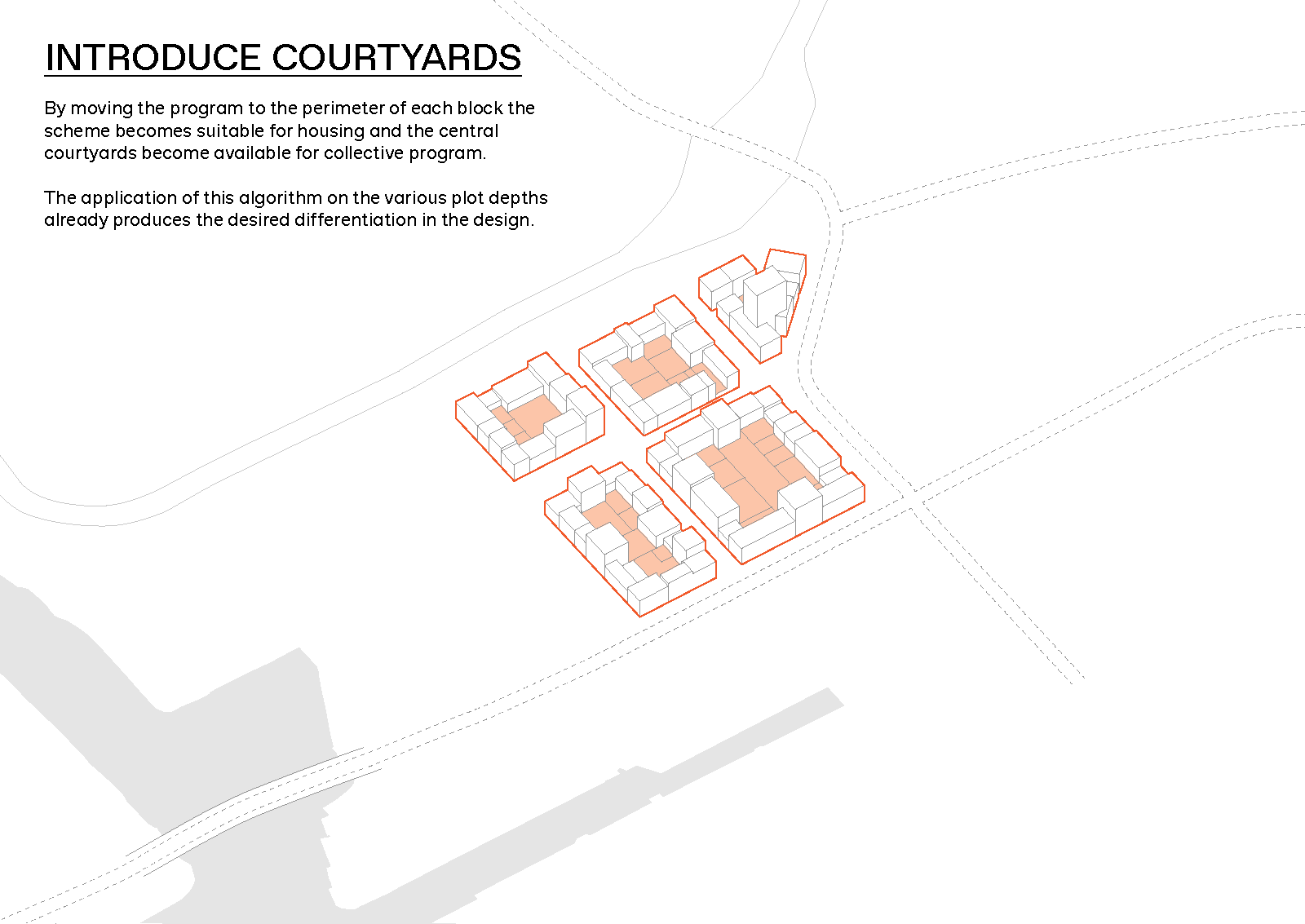
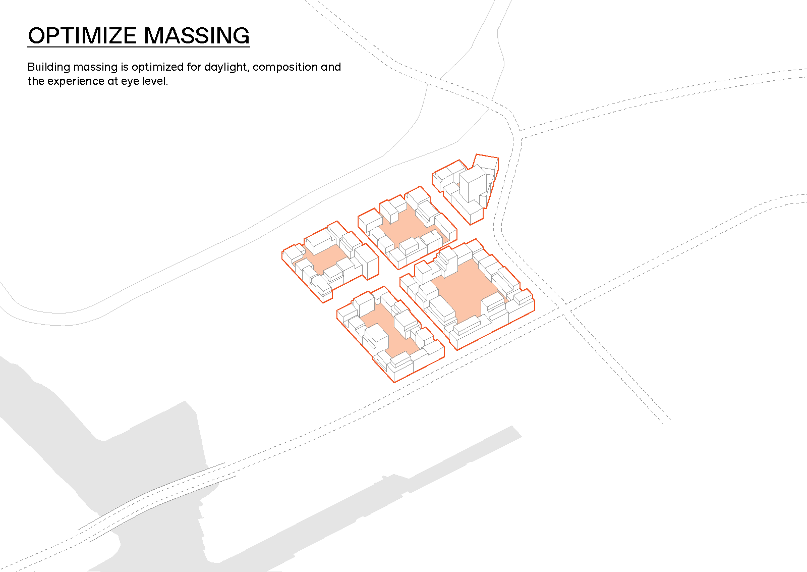
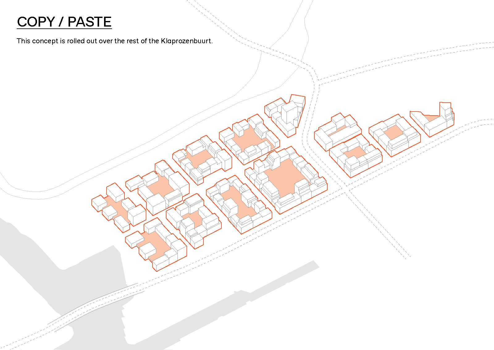
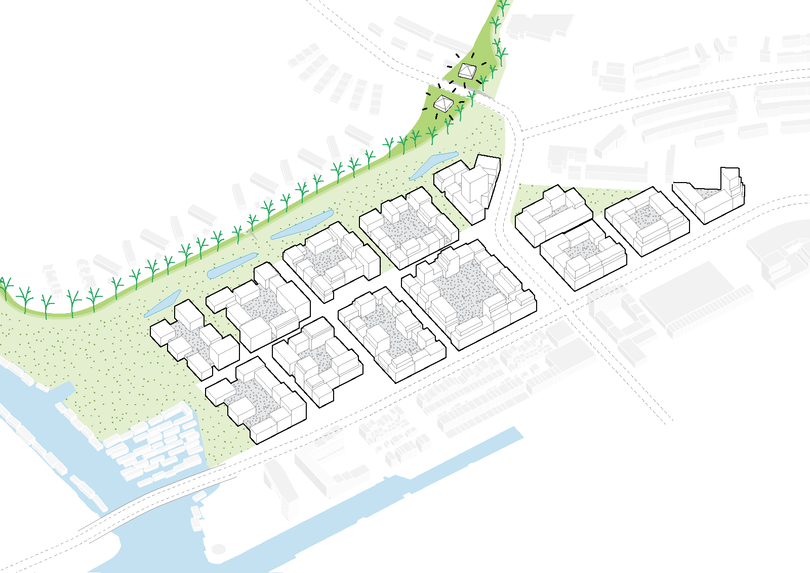
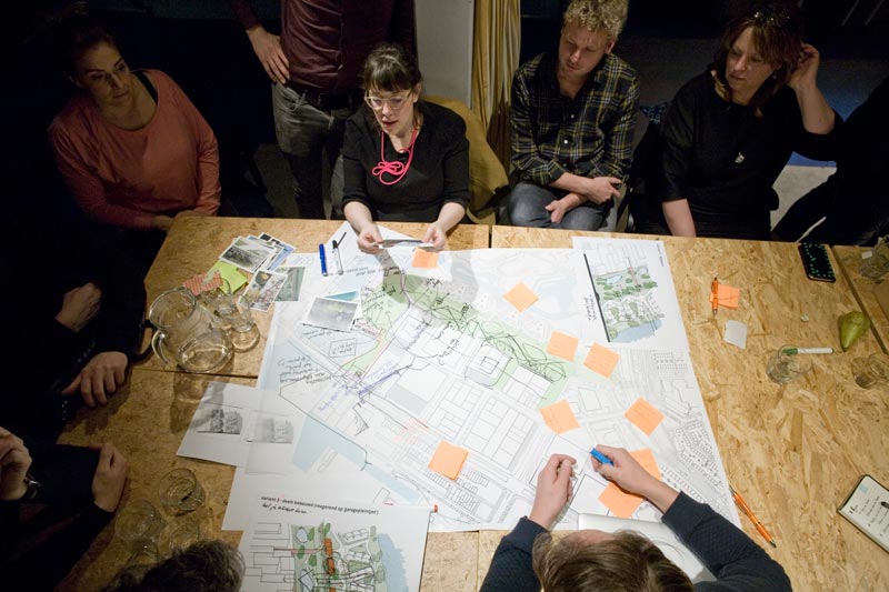
Design through participationIn close collaboration with partner offices Space&Matter and landscape architects B+B, BETA devised an inclusive design process geared towards the integration of stakeholders’ interests into the eventual masterplan. Over the course of several months the design took shape through an iterative feedback loop of workshops and presentations. The result is an urban plan embraced by policymakers, landowners and neighbors alike. Public space as leitmotifThe urban planner’s toolbox is limited when ownership is fragmented across more than fifty different owners. As a result public space formed the point of departure for the urban design. This also made it possible to create a distinct new neighborhood and offer much needed spatial quality in densities this high. Building on existing yet opaque qualities in the area, a series of small-scale public spaces were envisioned. These change character throughout the area, from urban along the busy Klaprozenweg, to intimate and green along the dike park. This new spacious park connects new and older neighborhoods and forms the beginning of a recreational route into the polders of Waterland. Differentiation as an objectiveFor the urban form, the simple correlation was made between the residents’ desire for differentiation and the landowners’ preference for smaller, easily phased lots. As such all plots are built with buildings with varying heights and depths. Fragmented landownership thus became an important ingredient for the urban design: even with the uniform distribution of density a differentiated streetscape was possible. The near algorithmic distribution of density makes for a clear distinction between public and private. Both are still connected by an intermediate collective layer. Throughout the plan, incisions create visual connections between public and collective; at a programmatic level these collective areas offer a connected yet sheltered environment. The Klaprozenbuurt is to yield a total of 2.200 dwellings by the year 2035. The first construction works are expected to take place by 2021. |
 |